
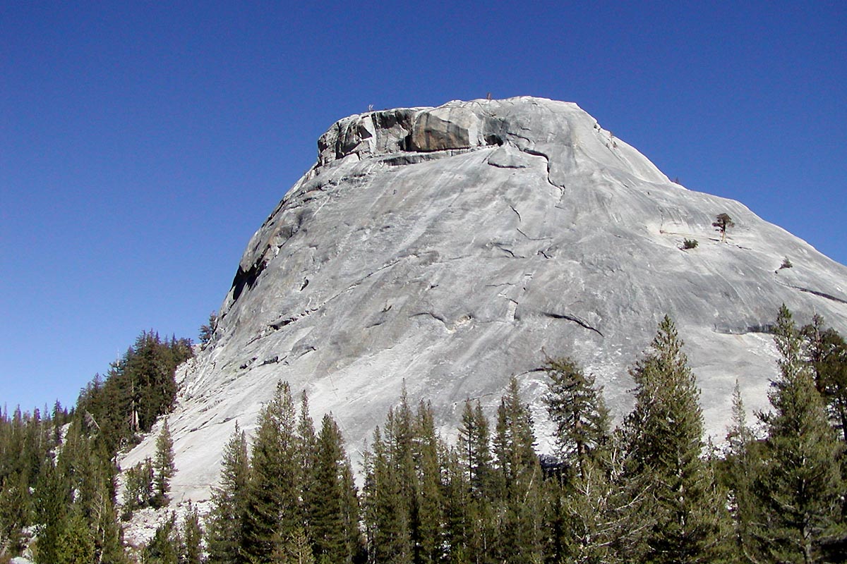
Yosemite N.P., California
Yosemite High Country
Granite cathedrals and a valley that still surprises you.
Closures & alerts
Checking official closures and alerts…
Straight from the managing agency, but postings lag. Always call or check the park page the week you go.
Hard
Difficulty
16 mi
Distance
4,800 ft
Elevation
9 h
Drive time
May – Oct
Best season
Trail map
Trail to take
Yosemite High Country — 16 mi · Hard
The map loads automatically. Open Trailforks below for trail names and difficulty ratings.
Overview
Up the Mist Trail past Vernal and Nevada, over the shoulder of Half Dome country, and out through Little Yosemite Valley.
Permits: Wilderness permit by lottery; day-use reservation in peak season.
Where to get your permit
Fees, lottery dates and quotas change every season — confirm on the agency page before you plan around them.
Where to camp or stay
Popular sites open on a booking window months ahead and sell out fast.
Highlights
Mist Trail spray in May
Nevada Fall overlook
Glacier Point sunset
Valley floor bike loop
Suggested itinerary
Day 1
Mist Trail up
Early start to beat the heat, camp in Little Yosemite Valley.
Day 2
Cables or Clouds Rest
Choose your summit, back to camp for a slow evening.
Day 3
Down and out
Descend via the John Muir Trail, celebrate in Curry Village.
Done by
@thatsolowanderer did this as Yosemite High Country — 4 day expedition.
Mist Trail up, two nights in Little Yosemite Valley, Clouds Rest on day three, out via the John Muir Trail.
Packing list
Checked against your gear closet — 4 items to sort out.
- Bear canister (required)
- Helmet if climbing
- Microspikes early season
- Rain shell
Add gear for this trip
Suggestions shift with the trip length, activities and the forecast above.
3 L
Per person, per day
2 L
Heaviest carry
4.4 lb
Water weight (2.2 lb/L)
4.4 lb
Gear 0.0 lb + water
- Sources unconfirmed — this assumes one mid-day refill. Check conditions before you go.
Food plan
- Dinner: couscous + olive oil + salami
- Breakfast: granola + powdered milk
- Coffee, obviously
Weather & conditions
Next few days
National Weather Service
Alerts & notices
No active National Weather Service alerts for this location.
National Park Service · Yosemite National Park
- • Tioga Road closes with the first heavy snow, typically November.
- • Bear canisters required for all overnight wilderness travel.
Land-manager notices are curated; the Forest Service and Park Service don't publish an open alerts feed, so confirm on the official page before you drive.
Nearby camping
Gear recommendations
Know before you go. Routes, distances, elevation and conditions shown here are estimates and may be inaccurate or out of date. Trail conditions change, and closures happen. Check with the managing land agency, carry a topographic map and compass or GPS, tell someone your plans, and know your limits — you're responsible for your own safety in the outdoors.